
🌍 Geography भूगोल
1178 exam-ready facts · 1109 MCQs
-
601
Nanda Devi Peak is located in Uttarakhand and is the second-highest mountain in India.
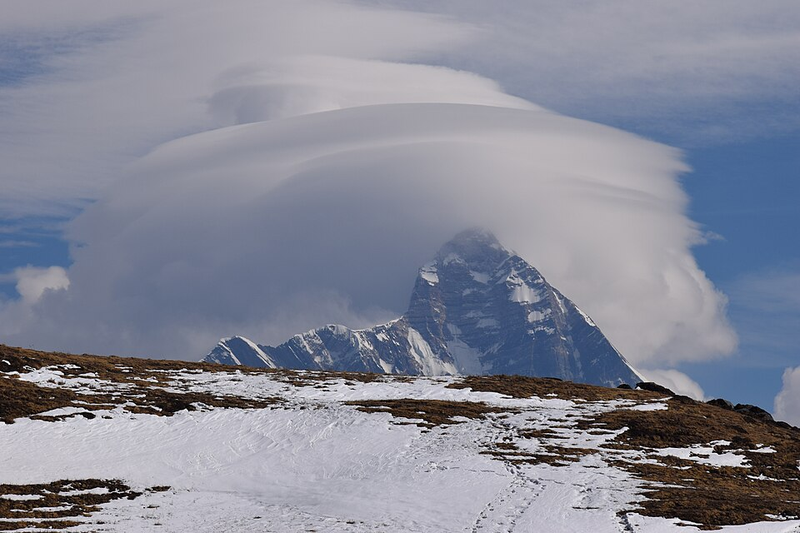
It is part of the Himalayan range and is surrounded by the Nanda Devi National Park.
Asked in SSC CGL 2018
Practice (1)
Q595The Nanda Devi Peak is located in___________.
Show answer
Correct answer: B — ['2', 'Uttarakhand']
Answer: (B)
The correct option is (B). -
602
The Penner River originates in Karnataka and flows through Andhra Pradesh, not Kerala.
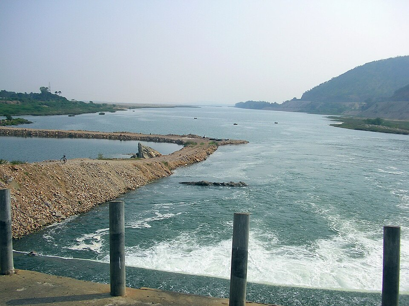
It empties directly into the Bay of Bengal.
Asked in SSC CGL 2023
Practice (1)
Q596Which of the following rivers does NOT flow in Kerala State?
Show answer
Correct answer: D — Penner
Answer: (D)Bharathapuzha, Periyar, and Pamba are major rivers that flow through Kerala. The Penner river originates in the Nandi Hills of Karnataka and flows through Karnataka and Andhra Pradesh before draining into the Bay of Bengal; it does not flow through Kerala.
Hence, the correct option is (4).
-
603
Overpopulation puts immense pressure on land and other limited renewable natural resources.
Unchecked population growth often leads to resource depletion and environmental degradation.
Asked in SSC CGL 2024 (11 Sep, Shift 1)
Practice (1)
Q597Which of the following options is mostly caused by overpopulation?
Show answer
Correct answer: B — Land and other renewable resources are under pressure
Answer: (B)
Overpopulation puts land and other renewable resources under pressure. -
604
The Mahi River flows into the Gulf of Khambhat and is not a tributary of the Godavari.
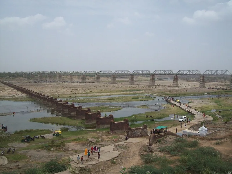
Pranhita, Manjra, and Purna are major tributaries of the Godavari.
Asked in SSC CGL 2023
Practice (1)
Q598Which of the following is NOT a tributary of the Godavari river?
Show answer
Correct answer: A — Mahi
Answer: (A)
The Mahi flows into the Gulf of Khambhat; it is not a Godavari tributary (Pranhita, Manjra and Purna are). -
605
The continental shelf is the extended margin of each continent occupied by relatively shallow seas and gulfs.
Continental shelves are rich sources of oil, natural gas, and fisheries.
Asked in SSC CGL 2021
Practice (1)
Q599The ______ is the extended margin of each continent occupied by relatively shallow seas and gulfs.
Show answer
Correct answer: D — continental shelf
Answer: (D)
The continental shelf is the shallow, submerged extended margin of a continent. -
606
Intensive cultivation involves maximizing agricultural output by applying higher inputs of labor and capital to existing land.
Farmers often grow multiple crops per year on the same plot to increase total productivity.
Asked in SSC CGL 2016 (11 Sep, Shift 1)
Practice (1)
Q600Intensive cultivation refers to
Show answer
Correct answer: C — raising production by intensive use of existing land
Answer: (C)
The correct option is (C). -
607
Nathu La pass connects Sikkim with Tibet and was reopened for trade in 2006.
It is one of the three open trading border posts between China and India.
Asked in SSC CGL 2018
Practice (1)
Q601________ , which connects Sikkim with Tibet, was closed after the Chinese aggression<br>on India in 1962 but was reopened in 2006 as the governments of the two countries<br>decided to enhance their trade through land routes.
Show answer
Correct answer: B — ['2', 'Nathu La']
Answer: (B)
The correct option is (B). -
608
less than 183 days (or six months) in a year. (As per the definition of Census of India, a ‘marginal worker’ is a person who works for:)
Asked in SSC CGL 2024 (9 Sep, Shift 3)
Practice (1)
Q602As per the definition of Census of India, a ‘marginal worker’ is a person who works for:
Show answer
Correct answer: B — less than 183 days (or six months) in a year
Answer: (B)
Census of India: a marginal worker works for less than 183 days (6 months) in the reference year. -
609
Sarayu river is a tributary of which river? — Sharda
-
610
The lithosphere is the rigid outermost shell of a rocky planet, comprising the crust and upper mantle.
It is broken into tectonic plates that move slowly across the underlying asthenosphere.
Asked in SSC CGL 2024 (26 Sep, Shift 1)
Practice (1)
Q603The upper portion of the Earth is known as:
Show answer
Correct answer: A — Lithosphere
Answer: (A)
The rigid outer layer of the Earth is the lithosphere. -
611
The Tapi River basin spans across Madhya Pradesh, Maharashtra, and Gujarat.
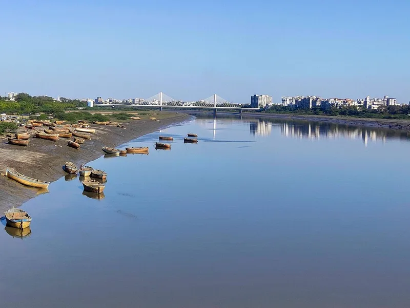
Rajasthan does not fall under the drainage basin of the Tapi River.
Asked in SSC CGL 2023
Practice (1)
Q604Which of the following states is NOT a part of the Tapi Basin?
Show answer
Correct answer: A — Rajasthan
Answer: (A)
The Tapi basin lies in Maharashtra, Madhya Pradesh and Gujarat, not Rajasthan. -
612
Banihal Pass is known as the gateway connecting Jammu and Srinagar.
It cuts across the Pir Panjal range in the Jammu and Kashmir union territory.
Asked in SSC CGL 2018
Practice (1)
Q605Which of the following passes is known as the gateway connecting Jammu and<br>Srinagar?
Show answer
Correct answer: B — ['2', 'Banihal Pass']
Answer: (B)
The correct option is (B). -
613
Urban light pollution creates skyglow, which severely hampers the observation of faint deep-sky objects.
Galaxies, nebulae, and distant star clusters vanish first into the bright background glow of city lights.
Asked in SSC CGL 2025 (14 Sep, Shift 3)
Practice (1)
Q606What astronomical observation is most severely hampered by increasing levels of urban light pollution?
Show answer
Correct answer: C — Deep-sky objects
Answer: (C)Urban light pollution brightens the whole night sky into a background glow called skyglow, and faint, diffuse targets vanish into it first.
Deep-sky objects, such as galaxies, nebulae and star clusters beyond the solar system, are exactly those targets. Under an inner-city sky on the Bortle scale, the Moon, the planets, bright satellites and a few of the brightest star clusters are about all that remain. That is option (c).
Why the others are wrong(a)Sunspots: Sunspots are observed on the Sun in daytime, through proper solar filters. Artificial light at night has no bearing on them.(b)Planetary transit: A transit of Mercury or Venus is seen as a small dark disc crossing the Sun, in daylight. City lights at night do not affect it.(d)Lunar phases: The Moon is the brightest object in the night sky and stays visible from the most light-polluted city. Its phases can be followed from any street. -
614
16.68%. (According to Census of India 2011, what is the gap between male and female literacy rate in India?)
Asked in SSC CGL 2024 (12 Sep, Shift 2)
Practice (1)
Q607According to Census of India 2011, what is the gap between male and female literacy rate in India?
Show answer
Correct answer: C — 16.68%
Answer: (C)
Census 2011: male literacy 82.14%, female 65.46%, gap 16.68 points. -
615
Which of the following statements about the Mahanadi river is INCORRECT ? — It drains into the Arabian Sea.
-
616
The salinity of ocean waters is calculated as the amount of salt in grams dissolved in 1,000 grams of seawater.
Ocean salinity is typically expressed in parts per thousand (ppt or ‰).
Asked in SSC CGL 2021
Practice (1)
Q608The salinity of ocean waters is calculated as the amount of salt (in gm) dissolved in ______ gm of seawater.
Show answer
Correct answer: B — 1000
Answer: (B)
Salinity is measured as grams of salt per 1,000 g of seawater (parts per thousand). -
617
The Western Ghats act as a massive physical barrier, forcing moisture-laden monsoon winds to ascend and shed heavy rain on the west coast.
By the time these winds cross the Ghats and reach the east coast, they are relatively dry.
Asked in SSC CGL 2016 (11 Sep, Shift 1)
Practice (1)
Q609Why does the west coast of India receive more rainfall from southwest monsoon than the east coast?
Show answer
Correct answer: B — The Western Ghats obstruct the winds causing rainfall
Answer: (B)
The correct option is (B). -
618
Rohtang Pass in Himachal Pradesh is a famous high-altitude tourist attraction.
It connects the Kullu valley with the Lahaul and Spiti valleys of Himachal Pradesh.
Asked in SSC CGL 2018
Practice (1)
Q610________ in Himachal Pradesh is a famous tourist attraction.
Show answer
Correct answer: A — ['1', 'Rohtang Pass']
Answer: (A)
The correct option is (A). -
619
20.9%. (According to the Census of India 2011, the percentage of adolescent population (10-19 years) from the total population i)
Asked in SSC CGL 2024 (12 Sep, Shift 3)
Practice (1)
Q611According to the Census of India 2011, the percentage of adolescent population (10-19 years) from the total population is how much?
Show answer
Correct answer: C — 20.9%
Answer: (C)
Adolescents (10–19 years) were about 20.9% of India’s population in Census 2011. -
620
The Narmada River originates from the Amarkantak plateau in the Maikal range.
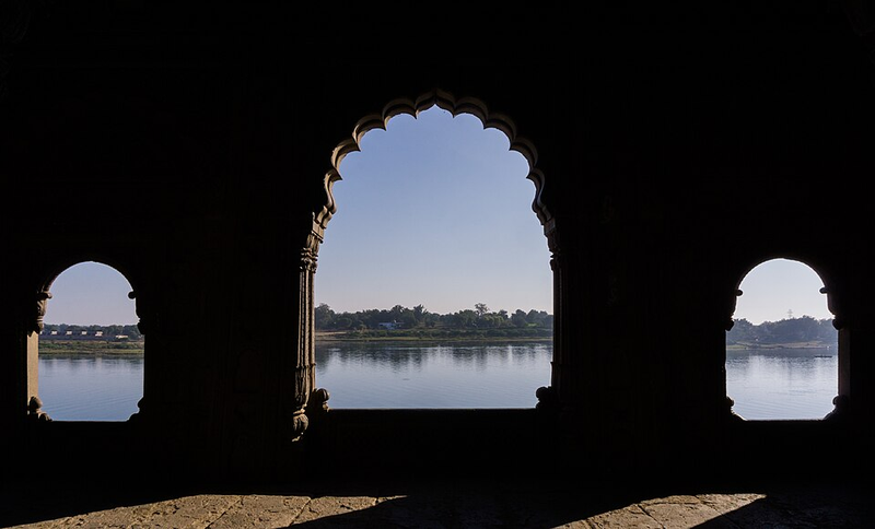
It flows westward through a rift valley towards the Arabian Sea.
Asked in SSC CGL 2023
Practice (1)
Q612Where does the Narmada river rise?
Show answer
Correct answer: D — Amarkantak Ranges
Answer: (D)
The Narmada rises at Amarkantak in the Maikal (Amarkantak) range.