
🌍 Geography भूगोल
1178 exam-ready facts · 1109 MCQs
-
181
Leaching is the process by which water-soluble minerals are washed down from the topsoil to the subsoil.
This process typically occurs in regions with heavy rainfall.
Asked in SSC CGL 2016 (31 Aug, Shift 1)
Practice (1)
Q180The transfer of minerals from top soil to subsoil through soil-water is called?
Show answer
Correct answer: C — Leaching
Answer: (C)
The correct option is (C). -
182
The National Highways Authority of India (NHAI) became operational in February 1995.
NHAI functions under the administrative control of the Ministry of Road Transport and Highways.
Asked in SSC CGL 2023 (26 Jul, Shift 2)
Practice (1)
Q181The National Highway Authority of India (NHAI) was operationalised in which year?
Show answer
Correct answer: D — 1995
Answer: (D)The National Highways Authority of India (NHAI) was constituted under the National Highways Authority of India Act, 1988, and it became operational in February 1995 under the Ministry of Surface Transport (now the Ministry of Road Transport and Highways).
Hence, the correct option is (4).
-
183
The Sutlej river originates in Tibet and flows through India before entering Pakistan to join the Indus.
It is the easternmost tributary of the Indus River system.
Asked in SSC CGL 2017 (17 Aug, Shift 3)
Practice (1)
Q182Which of the following rivers flows from India to Pakistan?
Show answer
Correct answer: A — Satluj
Answer: (A)
The Satluj flows from India into Pakistan. -
184
Sea water is saltier than rain water because rivers wash away dissolved salts from the earth and pour them into the sea.
Over millions of years, evaporation concentrates these dissolved minerals in the oceans.
Asked in SSC CGL 2016 (1 Sep, Shift 1)
Practice (1)
Q183Sea water is saltier than rain water because
Show answer
Correct answer: C — Rivers wash away salts from earth and pour them into the sea
Answer: (C)
The correct option is (C). -
185
Thematic maps are one of the most common forms of representing remote sensing data as actionable information.
Thematic maps focus on the spatial variability of a specific distribution or theme.
Asked in SSC CGL 2016 (4 Sep, Shift 2)
Practice (1)
Q184One of the common forms of representing remote sensing data as information is in the form of
Show answer
Correct answer: A — Thematic Maps
Answer: (A)
The correct option is (A). -
186
The census defines the sex-ratio as the total number of females per 1000 males.
This standard definition applies across national demographic surveys.
Asked in SSC CGL 2016 (29 Aug, Shift 3)
Practice (1)
Q185Which of the following is the correct description of the term sex-ratio as used in the context of the census of population?
Show answer
Correct answer: B — Number of females per 1000 males.
Answer: (B)
The correct option is (B). -
187
The color of a star indicates its surface temperature, with cooler stars appearing red and hotter stars appearing blue.
Blue stars are much hotter than yellow or red stars.
Asked in SSC CGL 2016 (8 Sep, Shift 1)
Practice (1)
Q186Which of the following is indicated by the colour of a star ?
Show answer
Correct answer: C — temperature
Answer: (C)
The correct option is (C). -
188
The Damodar Valley region in India is exceptionally rich in coal deposits and is often called the Ruhr of India.
It hosts major coalfields like Jharia, Raniganj, and Bokaro.
Asked in SSC CGL 2016 (31 Aug, Shift 2)
Practice (1)
Q187Which one of the following region is most rich in coal deposits?
Show answer
Correct answer: B — Damodar Valley
Answer: (B)
The correct option is (B). -
189
Brahmagiri Wildlife Sanctuary is located in the Kodagu district of Karnataka.
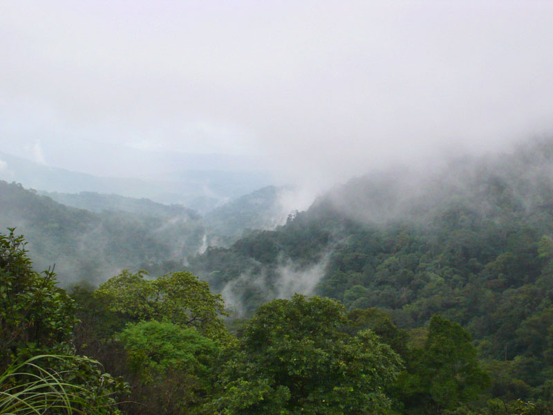
It is named after the high-altitude Brahmagiri peak situated within its limits.
Asked in SSC CGL 2019
Practice (1)
Q188In which district of Karnataka is the Brahmagiri Wildlife Sanctuary located?
Show answer
Correct answer: D — Kodagu
Answer: (D)
Brahmagiri Wildlife Sanctuary is in the Kodagu (Coorg) district of Karnataka. -
190
Jawaharlal Nehru Port in Navi Mumbai is the largest container port in India.
It handles more than half of India's containerised cargo among major ports.
Asked in SSC CGL 2023 (26 Jul, Shift 4)
Practice (1)
Q189Which is the largest container port in India?
Show answer
Correct answer: B — Jawaharlal Nehru Port
Answer: (B)Jawaharlal Nehru Port (Nhava Sheva), located in Navi Mumbai, Maharashtra, is the largest container port in India, handling over half of the country's containerised cargo among major ports.
Kandla Port handles the largest volume of overall cargo by tonnage, but Jawaharlal Nehru Port leads in container traffic.
Hence, the correct option is (2).
-
191
The northern plain of India is formed by the interplay of the Indus, the Ganga, and the Brahmaputra river systems.
These three river systems deposited vast amounts of alluvial soil over millions of years to create the fertile northern plains.
Asked in SSC CGL 2017 (17 Aug, Shift 2)
Practice (1)
Q190The northern plain of<br>India has been formed by the interplay of the three major river systems, namely–<br>the Indus, the Ganga and the ___________.
Show answer
Correct answer: A — Brahmaputra
Answer: (A)
The northern plains were formed by the Indus, Ganga and Brahmaputra systems. -
192
A lagoon is a stretch of salt water separated from the larger sea by a low sandbank or coral reef.
Lagoons are typically shallow bodies of water protected from ocean waves.
Asked in SSC CGL 2016 (4 Sep, Shift 2)
Practice (1)
Q191A stretch of sea water, partly or fully separated by a narrow strip from the main sea is called
Show answer
Correct answer: C — Lagoon
Answer: (C)
The correct option is (C). -
193
Dakshin Gangotri was India's first scientific research station established in Antarctica.
It was established in 1983 during the third Indian Antarctic expedition.
Asked in SSC CGL 2016 (1 Sep, Shift 3)
Practice (1)
Q192What is Dakshin Gangotri ?
Show answer
Correct answer: B — Unmanned station located in Antarctica
Answer: (B)
The correct option is (B). -
194
The Atal Tunnel is the longest highway single-tube tunnel connecting Manali and Keylong.
It is built beneath the Rohtang Pass in the Pir Panjal range of Himachal Pradesh.
Asked in SSC CGL 2023 (27 Jul, Shift 1)
Practice (1)
Q193Name the longest highway single-tube tunnel that reduces the travel time and overall distance between Manali and Keylong.
Show answer
Correct answer: A — Atal Tunnel
Answer: (A)The Atal Tunnel, constructed under the Rohtang Pass in the Pir Panjal range of Himachal Pradesh, is a
long single-tube highway tunnel. It connects Manali to Keylong in the Lahaul-Spiti valley, reducing the road distance by about and significantly cutting travel time. Hence, the correct option is (1).
-
195
Japan being the Eastern most country in the world, it has the earliest sunrise. (Japan is called the 'Land of the rising sun' because)
Asked in SSC CGL 2016 (1 Sep, Shift 3)
Practice (1)
Q194Japan is called the 'Land of the rising sun' because
Show answer
Correct answer: C — Japan being the Eastern most country in the world, it has the earliest sunrise
Answer: (C)
The correct option is (C). -
196
Convectional rainfall is caused by intense evaporation and subsequent condensation in equatorial regions due to high temperatures.
This type of rainfall typically occurs daily in the late afternoons in the equatorial zone.
Asked in SSC CGL 2016 (31 Aug, Shift 2)
Practice (1)
Q195Rainfall caused by intense evaporation in equatorial areas is called ______________
Show answer
Correct answer: D — Convectional rainfall
Answer: (D)
The correct option is (D). -
197
The Kosi River originates in Nepal and flows into the Ganges.
Known as the Sorrow of Bihar, the Kosi frequently changes its course due to heavy silt deposition.
Asked in SSC CGL 2017 (20 Aug, Shift 3)
Practice (1)
Q196Which of the following river originates in Nepal and flows into the Ganges?
Show answer
Correct answer: A — Kosi
Answer: (A)
The Kosi rises in Nepal (Tibet–Nepal Himalaya) and joins the Ganga in Bihar. -
198
Population density refers to the average number of persons living per square kilometre.
It is calculated by dividing total population by total area.
Asked in SSC CGL 2016 (1 Sep, Shift 3)
Practice (1)
Q197What do you mean by 'Density of Population'?
Show answer
Correct answer: B — Number of persons live per square kilometre
Answer: (B)
The correct option is (B). -
199
A solar eclipse occurs when the Moon passes between Earth and the Sun, thereby obscuring the view of the Sun from a small part of the Earth.
Solar eclipses only happen during a new moon phase.
Asked in SSC CGL 2016 (9 Sep, Shift 2)
Practice (1)
Q198When does solar eclipse take place ?
Show answer
Correct answer: C — When the moon is between the sun and earth
Answer: (C)
The correct option is (C). -
200
Namdapha National Park in Arunachal Pradesh is the largest protected area in the Eastern Himalayan sub-region.
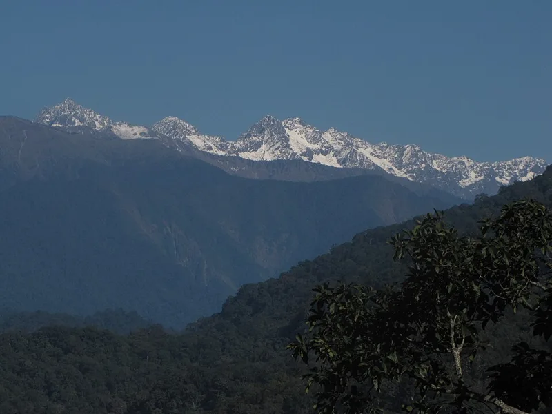
It is renowned for harboring all four major feline predators: tiger, leopard, snow leopard, and clouded leopard.
Asked in SSC CGL 2019
Practice (1)
Q199Which National Park among the following is the largest protected area in the Eastern Himalayan sub-region?
Show answer
Correct answer: B — Namdapha National Park
Answer: (B)
Namdapha in Arunachal Pradesh is the largest protected area in the Eastern Himalaya.